West Country region UK
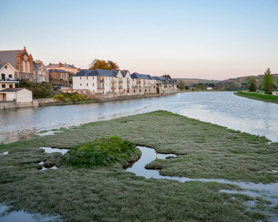
The catchments of the River Axe, the River Camel and the Somerset Levels and Moors Ramsar Site represent 750 km² and Somerset Levels and Moors Ramsar Site is 6,395km². Climate risks and impacts faced by the area include pollution, flooding and drought, and reduced development of the region.
Actions and expected results
Agriculture (80% of land use), causing point and diffuse source nutrient loss at a catchment scale and impacted by reduced nutrient reuse and risk of regulation. The challenge is to show economic benefit to farmer in terms of nutrient savings from better use of slurries and dirty water as well as savings for nutrient and water reuse. Additional benefits include the carbon sequestration potential of nature based solutions for the farmer.
Water Business sector (developers, water companies, carbon offsetting businesses), impacted by nutrient loading and soil management within the river limits business activities, drought and water scarcity exacerbating point source pollution through lack of dilution. Their ability to continue property development is limited as there is nutrient headroom in the river.
River habitat and species, with flooding exacerbating diffuse dilution and being impacted by the increasing impact of pollution with changing flow patterns.
The project will embed these sites within at-risk catchments to enable a sufficient density to deliver the repayment terms from buyers so that investors of green bonds can be paid back once environmental goods and services are delivered. The nutrient loading will be monitored. Finally, governance and financial mechanism will be tested for the adoption of phosphate credits alongside emerging farm carbon credits.


